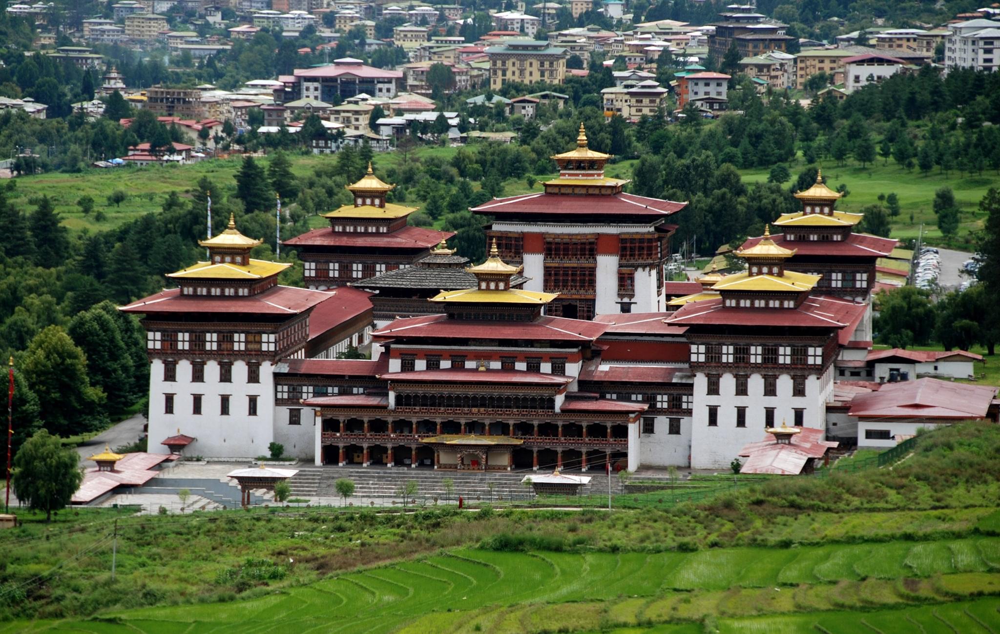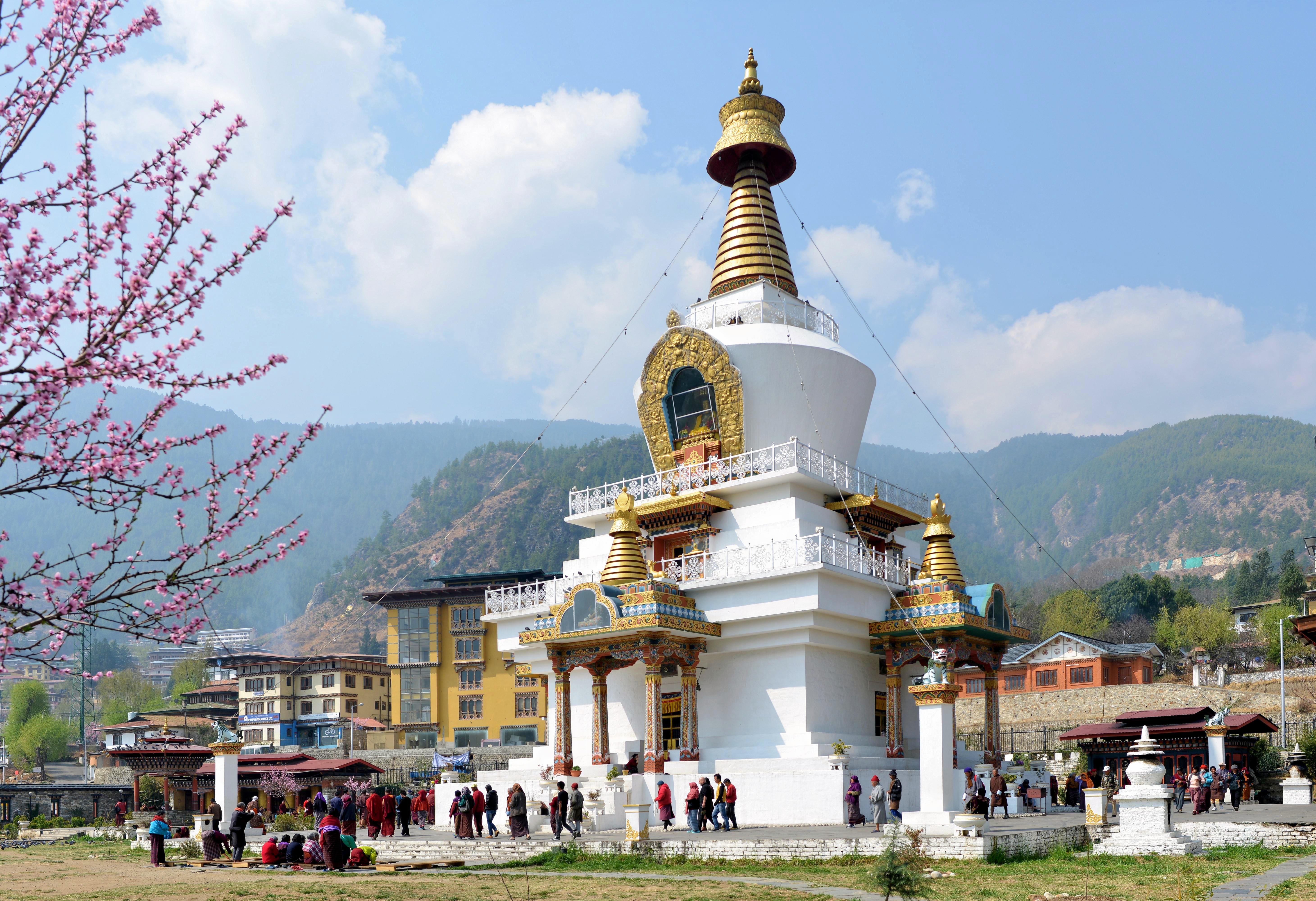
Location: Starting from Paro the trek passes through Sharna Zampa, Thangthangkha, Jangothang, and Linghsi from where the route diverge from Laya Gasa Trek to reach Shodu, Barshong, Dolam Kencho, Doden to reach Thimphu.
Best Time: The best time is from March to May and September to November.
Approx Price: The approximate price per person for the 9 day trek is 300,000 BTN.
Difficulty Level: Moderately difficult.
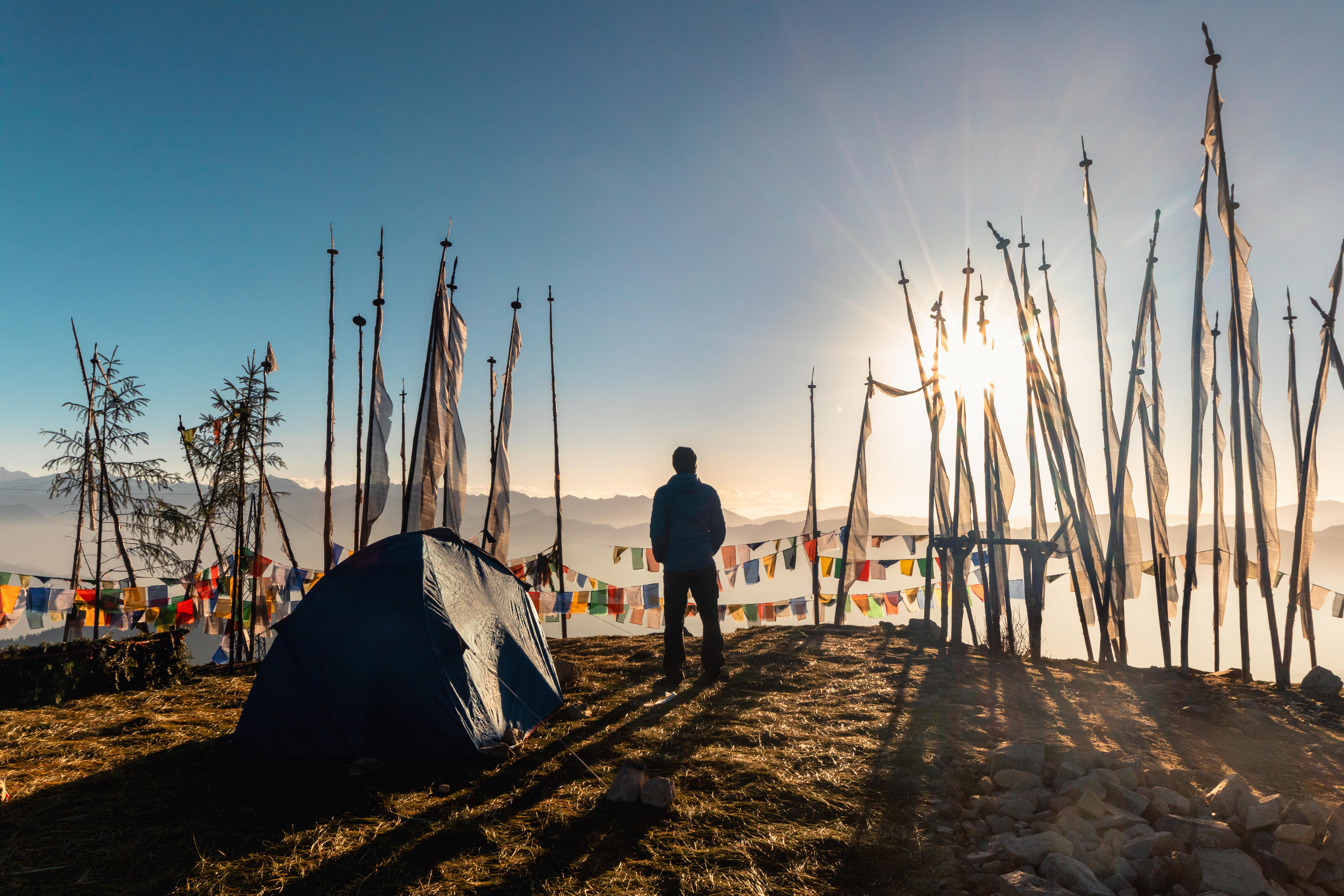
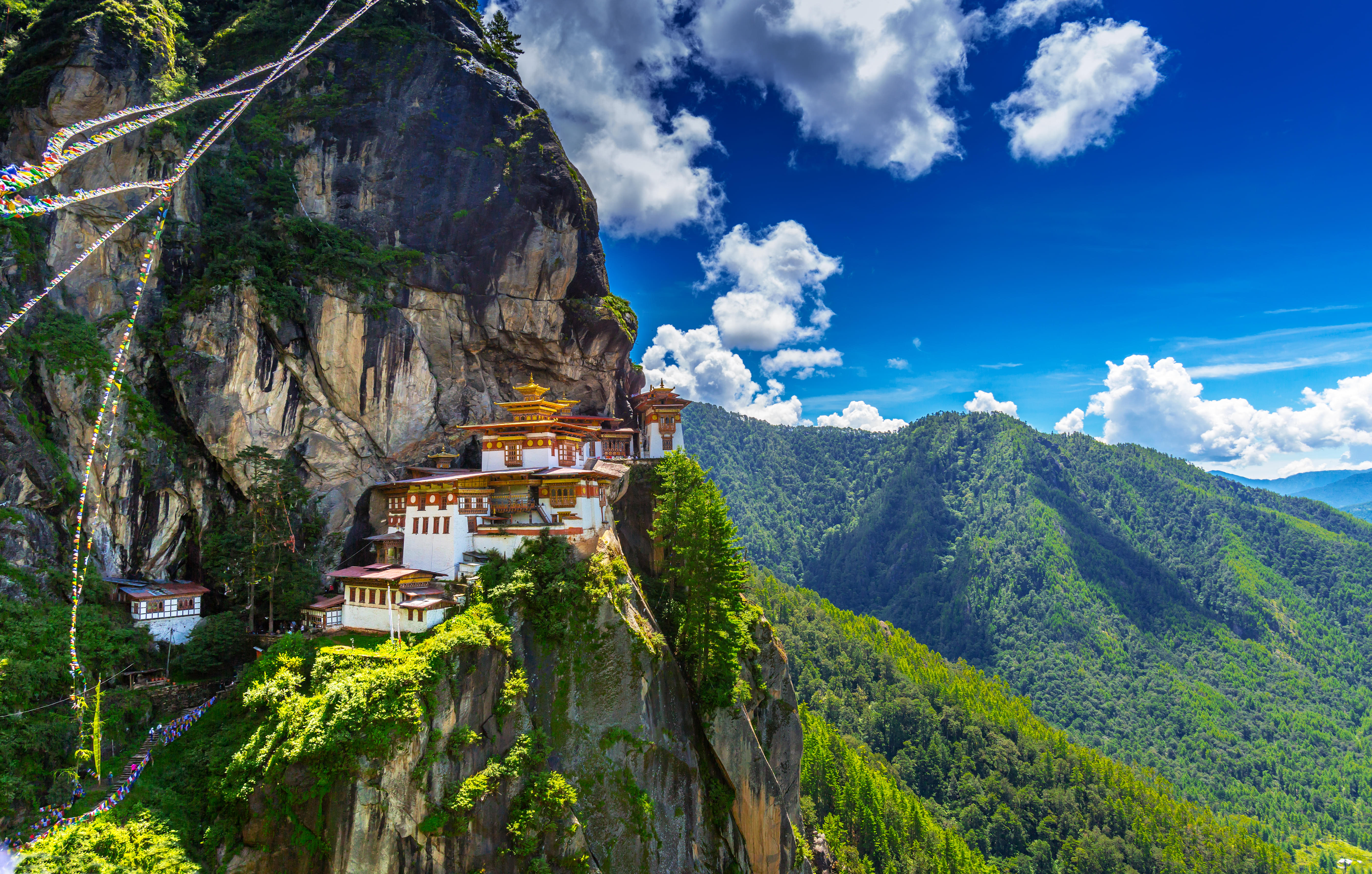
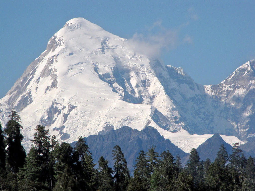
Jomolhari, also known as Chomolhari and famous as “the bride of Kanchenjunga,” is bordered by China, Bhutan, and Tibet. Jomolhari Trek is the most beautiful and popular trek in Bhutan. During the trial, one can witness dense forests, local villages, majestic Himalayan peaks, and can enjoy the picturesque view of mountains touching the sky since the trek takes you from 2,600m up to 5,000m or higher.
A wide variety of flora and fauna is available, and a spectacular view of snow-capped Mt. Jomolhari from Jomolhari Basecamp in Jangothang is a remarkable highlight of this trekking trip. Jangothang is also known as the base camp of Jomolhari, and it is the location where trekkers set up camps and relax while they are planning to climb the mountain.
The level of difficulty of the hike is moderate. Trekkers, however, have to be mentally and physically fit and need a decent amount of time to acclimatize. The trek can be done in 8-9 days, depending on the speed and various other factors, including weather conditions. Locals and tourists from all over the world come in hordes to experience this trip of the sacred mountains.
How To Reach
-By Road: Taxi services are available from Punakha, Paro, and other nearby locations, you will find it challenging to find a taxi.
-By Bus: Buses are available from Paro, Chukha, and other cities. Ask the locals about the timings and routes of the bus to be sure about it before you board the bus.
-By Air: The nearest airport is in Paro, and it is the only International Airport of Bhutan, you will have to take a taxi to reach Jomolhari which is readily available outside the airport.
NOTE: We recommend that you travel with guides or schedule your journey with us, which involves personalized packages. This saves you from many challenges, such as getting a cab, catching a bus, etc.
Best Time To Visit
Bhutan sees four kinds of seasons in the whole year- Spring, Autumn, Winter, and Monsoon.
Spring (March to May)- It is the pre-monsoon season, and there is still time for it to start pouring in the mountains.
Autumn (October to November)- Temperature is comfortable throughout the higher areas of the mountain. Autumn comes for a shorter duration, but it is still considered to be the best time to trek as the winter is still on its way.
Monsoon (July-September)- It is the rainy season wherein the place sees the heaviest of rainfall from June to August. Treks can be resumed in September as monsoon is just about to leave. Although, trekking in monsoon is not advised as trails are mostly slippery and muddy.
Winter (December-February)- These months are way too cold for trekking, and it is usually inadvisable as it can get uncomfortable and uneasy for the trekkers to hike smoothly.
Our conclusion- The best season to visit- Spring Season (March to May)
Other Essential Information
1. Location- Jomolhari is a Himalayan mountain, bordering Tibet's Yadong County, China, and Bhutan's Thimphu district.
2. Trek Distance- Total trekking distance is 33 km
3. Minimum Elevation- 2,500 m
4. Maximum Elevation- 5,000 m
5. Trek Duration- Approximately 8-10 days are required to complete the trek.
6. Height- Mt. Jomolhari is at an elevation of 24,000 ft.
7. Average Temperature- Depends on the season you are visiting in. Below are the average temperature according to the four distinct seasons.
8. Spring- Max: 18.5 degree celsius
9. Autumn- 16 degree celsius
10. Monsoon- 25 degree celsius
11. Winter- 11.2 degree celsius
12. Difficulty Level- Moderate to difficultTrekking Route for Jomolhari Trek
The Jomolhari trek will take up to 8-9 days and below is the route that you should follow during the trek-
Day 1- Drukgyel Dzong – Sharna Zampa
Day 2- Sharna Zampa- Soe Thangthangkha
Day 3- Thang Thang Kha – Jangothang
Day 4- Rest day to get acclimatized at basecamp of Jomolhari- Jangothang
Day 5- Jangothang – Lingshi
Day 6- Lingshi – Shodu
Day 7- Shodu – Barshong
Day 8- Bars Hong – Dolam Kencho
Day 9- Dolam Kencho – Dodena
NOTE- This is the route of Jomolhari Trek that will be mostly covered by foot.
Traveler's Tips for visiting Jomolhari Trek
Even when you think that you are all prepared, you still tend to miss out on a few things. It’s human nature, and we get it. Consider the tips mentioned below before you plan your trek as there is nothing more unfortunate than realizing that you forget to shop for those extra snacks or did not pack the right trekking shoes.
-Carry all the necessary trekking gears which are required for the trek.
-Get yourself checked medically to evaluate your fitness level.
-Know the season you are arriving in and then plan your trek accordingly.
-Eat a healthy and balanced diet and avoid all sorts of junk food.
-Carry protein bars, snacks, and dry fruits.
-Prepare yourself for altitude sickness and carry the necessary medicines.
-Pack enough clothes, including thermal wear, as it can get cold.
-Keep enough cash as sometimes the ATM’s do not work.
-Do not forget to keep sunglasses and sunscreen handy to protect your skin from harsh sun rays.
-Choose to carry lightweight and quick-drying clothes.