


One of the most exciting ways to add fun to your vacation is by indulging in a Himalayan trek in 5 days. While your friends are planning to spend their long vacation hitting a beach or staying put in bed, take the opportunity to spend some memorable days in the lap of Himalayas, trekking its undulating terrain and soaking in the undiluted beauty of pristine nature. Vacations are meant to give you a break to revitalize your spirit, and these Himalayan treks serve the purpose right. Spending a few days getting adventurous in the beautiful landscapes of high altitude mountains will surely change your perception towards the world and life, transforming you into a better version of yourself.
The mighty mountain range of Himalayas features an extensive range of trekking options that cater to the adventure style of all types of trekkers. From short treks that you can cover within a day or two to long treks that require a minimum duration of 5 days, Himalayas offer exciting options if you want to spend your vacation testing your mettle in their high altitude regions. While you stay in mountains for such a long time during these treks, you get ample opportunities to capture picturesque landscapes and create memories you will hold close till the end of time.
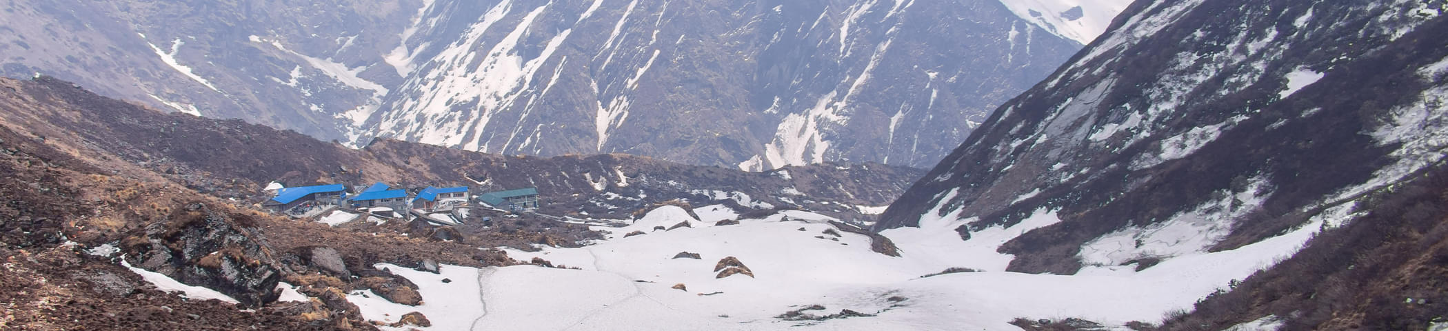
Though there are a number of long treks available in the Himalayas, the most popular ones are Kedar Kantha Trek, Dayara Bugyal Trek, and Beas Kund Trek. You can plan a solo adventure where you can discover yourself or you can tag your friends along on a Himalayan trek in 5 days to add fun to the affair. Check out our list of the most exciting 5 days Himalayan Treks and get on with drafting a leave application because an adventure in the Himalayas awaits your arrival!